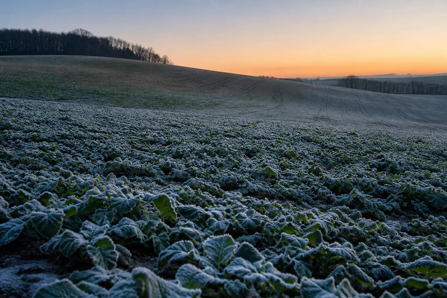
In short: the minimum of the weather forecast usually describes a standard air temperature of roughly two meters for an area. On a clear, weak windy night, the plant and the air near the ground can get colder than this. The difference is not fixed: it is shaped by cloud cover, wind, dew point, soil conditions and topography.
What happens in radiation frost?
At night, the surface loses heat through long-wave radiation. Under clear skies, most of this is emitted, while clouds partially reflect it back. The cooling soil and plants cool the air directly above it. If the wind is weak, the cold layer does not mix with the warmer air higher up.
Due to the radiation balance of the plant surface, it can even be colder than the surrounding air. This explains why, in addition to the positive temperature measured at two meters, frost or frost damage may appear in low plant populations.
The cold air follows the topography
The cooled, denser air flows downhill and can collect in depressions, valley bottoms or behind embankments. Even a difference in level of a few meters can be enough to create different minima within the same farm. Forest strips, hedges and buildings can block the flow of cold air.
Therefore, the point closest to the meteorological station may not be the best reference. The endangered zone should be designated on the basis of previous frost spots, topography map and multi-point measurement.
Four data that you interpret together
- Predicted minimum: good for early warning, but not a guarantee measured in plant height.
- Dew point: a low value may indicate dry air and the possibility of further cooling; the heat released during dew formation can slow down cooling.
- Wind: slight mixing can reduce the difference near the ground, but strong cold advection means a different type of frost situation, which is more difficult to handle.
- Cloud: unexpected exposure after sunset can accelerate heat loss.
This is how you follow the critical night
- Before sunset, read the thermometer of the endangered and control point.
- Record the temperature every hour, don't just look at the current value.
- Watch for the wind to drop, the sky to clear and the dew to form.
- The meter should be shaded and at the height of the plant part to be protected.
- Subtract the total ramp-up time of the system from the start time of the intervention.
What improves the next forecast?
On each night of suspected frost, record the field-level minimum, the predicted value, cloudiness, wind and the location of the damage. Some events reveal which zones diverge regularly and in which situation. The local measurement thus not only protects the given night, but also helps the subsequent calibration of the model.
FAQ
How many degrees difference can there be between two meters and near the ground?
There is no permanent difference. It may be larger on a clear, weak windy night, and smaller in cloudy or windy weather. It is also modified by topography, surface cover and soil moisture, so it is not worth counting on a fixed correction without local measurements.
Does the forecast above 0 °C rule out frost damage?
Not. In addition to the air minimum estimated at two meters, the plant surface may be colder due to radiation, and a deeper part of the field may also differ from the grid point average. In a sensitive phenological state, local control may be justified even with a small positive forecast.
Where should the frost indicator thermometer be?
At the height of the plant part to be protected, shaded, in the most endangered representative zone. A second gauge at a higher or less dangerous point helps you understand the difference within the field.
Further reading
On the difference between radiation and transported frost, as well as on phenological sensitivity University of Minnesota Extension guide gives a detailed overview. On-site measurement and professional consideration are required before intervention.
